Description
Bring our rapidly-shrinking and fast-moving world to your fingertips with our Atlas of the USA
The Atlas of the USA is one of more than eighty maps on offer at our website. Our standard maps depict countries, regions, states, provinces and large geographical areas. Maps typically show the ten largest cities and characteristic landforms as well as Braille labels and a key.
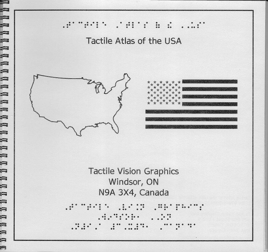
Description: Atlas of the USA
is a book which bears the Stars and Stripes on its cover and a stylised outline of the United States. It contains all the mainland states with two pages of state abbreviations and their capital cities plus Alaska and Puerto Rico, an enlarged view of the eastern States as these are so compact and an additional page with the original Thirteen Colonies.
We are always adding products so check back often or Sign up for announcements and updates on our website: www.tactilevisiongraphics.com
Reviews
There are no reviews yet.